From the year that I got married, my wife Lesya has enjoyed hiking in the ADK high peaks. I have to admit that I enjoy hiking most when I am hiking with my wife. This trip that we took on a Labor Day weekend in 2012 has been a very memorable trip for both of us. We came in to Lake Placid on Saturday afternoon just in time for lunch at our favorite sandwich spot on Main St. After a few hours of window shopping, we checked into out hotel. The hotel was on Lake Placid and we also enjoyed a short rowboat paddle on the lake. We enjoyed some nice views of Whiteface Mountain and headed for dinner. Its always nice staying within walking distance of Main St because it very convenient when going out to eat or shopping.
View from hotel room
The following day, with great a weather forecast we drove to Keene Valley. Its a very scenic route with early morning fog creating a beautiful maze among the peaks. We enjoyed a high protein breakfast-on-the-go.
Route 73 to Keene Valley
We traveled into a small hamlet called Saint Huberts. The St. Huberts Rd that goes to the Ausable Golf Club also leads to the hiker parking lot. The golf course is nestled among the southeastern high peaks with Giant to the east and the Great Range to the Northwest and Colvin Range to the South. The parking lot is a mile down the road from the trailhead of Lake Rd. Since Lake Rd is a Private Rd, hikers can only use the road to hike only.
We began our hike early in the morning at about 7 am, with the temperature in the low 50's. The hike to Lake Rd is a pleasant incline and it maked for a nice warm up. Once on Lake Rd, its partially gravel, made for easy hiking of 2.1 miles to Beaver Meadows Falls trailhead. The Ausable River runs alongside the road from Ausable Lake further south.
Once on Beaver Meadows Falls trail, we came across the falls to our right. A few hundred feet from the falls the true hiking began. The trail was very steep, going back and forth on a good size hill. The distance of the Beaver Meadows Falls trail from the start to the col between Armstrong and Gothics is 2.3 miles. It took us 2.5 hrs to reach the col from the parking lot. Approaching the col, the scenery is spectacular because portions of the trail run alongside a ridge coming off the southern end of Armstrong Mountain, allowing for great views of the slides on Gothics. From the col it was an additional 0.6 miles to the summit of Gothics.
Overlook before col
We reached our first summit around 10:45, pretty close to being on schedule. We took our first official break of the day and ate a snack. I always enjoy taking off my boots and letting my socks to dry up on the warm summit rocks. Majority of the summits in the ADK allow for very rewarding views, especially when hiking in the Great Range. After a few scenic photos at the summit we began our descent to the col.
Gothics summit photo
At the col it was a quick 0.4 miles to the summit of Armstrong. Along the way enjoyed a few minutes on the a rock ledge looking out to the Gothics, Saddleback and Basin mountains. At first we thought this was the summit since it offered such great views, but fellow hikers spoiled our excitement. Once at the actual summit we took another short break and ate lunch. After a few summit photos we set out to peak three, Upper Wolf Jaw.
Armstrong Ridge
Armstrong summit selfie
Official marker for summit
The 1.0 mile hike to the next summit felt a lot longer than it really was. There is a small col between Armstrong and Upper Wolfjaw that gave us a good workout. The trail was really rough with short descents and ascends. But overall ridge hiking is much better than having to make a full descent and then another full ascent to the next summit. We made it to the third summit by 2:30 pm. Another short break and summit photo.
Upper Wolfjaw summit photo
Giant from Upper Wolfjaw
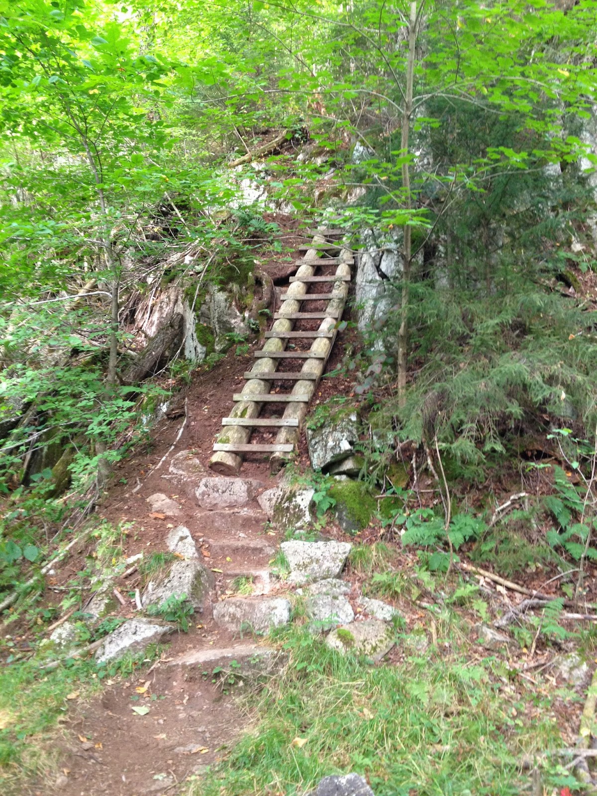
The name Wolfjaw should have created a picture of what the nature of the hike would be like but once again I was surprised. The descent to the col between Upper and Lower Wolfjaw was 1.1 miles and very steep with a couple sections that had wooden ladders extending 30 ft from one level of the trail to the next. We began to feel our knees really well during this portion of the hike. Once at the col it was a 0.3 mile hike to the summit of Lower Wolfjaw. The summit of our forth peak was the least exciting because it was covered in trees with minimal to no view of the surrounding mountains. I took a quick selfie photo at the summit. It was 20 minute ascent from the col and a 10 minute descent.


At the col once again we took a short break before our final descent to Lake Rd. At this point it was 4:30 pm and we really wanted to get off the trails before it got dark. Despite the discomfort in the knee joints we made every effort to speed up the descent. It was a reasonable descent with only a few areas that need extra caution on the Wedge Brook trail. Once on Lake Rd it was an easy walk to the Golf Course. We made it back to the car around 7 pm, making it a full 12 hr hike. I was extremely proud of my wife who lead the hike really well and was an excellent companion on the trip. Good times with the Honey!
Giant in the background of golf course
Officially signed in & out
Mt Gothics: 4736 ft
Mt Armstrong: 4410 ft
Mt Upper Wolfjaw: 4203 ft
Mt Lower Wolfjaw: 4173 ft