It was 2 years since the last time that I hiked in the ADK high peaks, and boy was I itching to get out and hike a peak or two. I was very grateful for awesome weather and a fellow colleague who agreed to embark with me on such a strenuous journey. Many people hike alone in really remote places, but I find it to be a more pleasant trip if someone joins you and then there is also the possibility if something should happen.
We left Syracuse at 3 am and made the 3.5 hr drive to Upper Works just outside of Newcomb. It was nice to be at the parking lot by 0615 and hiking by 0630. It was our first time to the Upper Works area, and there will need to be several more trips to this area in particular if I was to conquer the remaining 16 summits.
Redfield and Cliff are considered unmarked or wilderness trails following herd paths, therefore there are no obvious signs pointing towards these summits. So there were some tricky areas that you simply had to know that you are going in a particular direction where other posted summits were located in order to get to the base of these mountains. We had a little detour as we missed the right turn of the red trail going to the left of the Flowed Lands towards Lake Colden and so we found ourselves about 10 minutes enroute to Hanging Spear Falls.
I highly recommend researching the 46er bloggers or reading the Discover Adirondack High Peaks by Barbara McMartin and Bill Ingersoll about these trails for valuable trail details.


The initial approach to the trailhead of Redfield and Cliff is relatively easy however, its 7 miles. The 4.5 miles to Flowed Lands took us 2 hours and it was a nice warm up to the increased rocky trail ahead. The typical ADK special, rocks and roots!

Much of the hiking in this area has plenty of water sources, which is nice when it comes to refilling your camo pack but on the other hand there were many wet muddy areas. Fortunately for us it was not a wet time of the year nor did it rain recently.


Surrounding the Flowed Land and Lake Colden there are several lean-to and we came across many hikers staying in them along the way. Years ago on a 4 day hiking trip we stayed at the Colden lean-to which provided amazing views of the lake and avalanche pass.

The early morning sun in the Flowed Land created some beautiful photos.

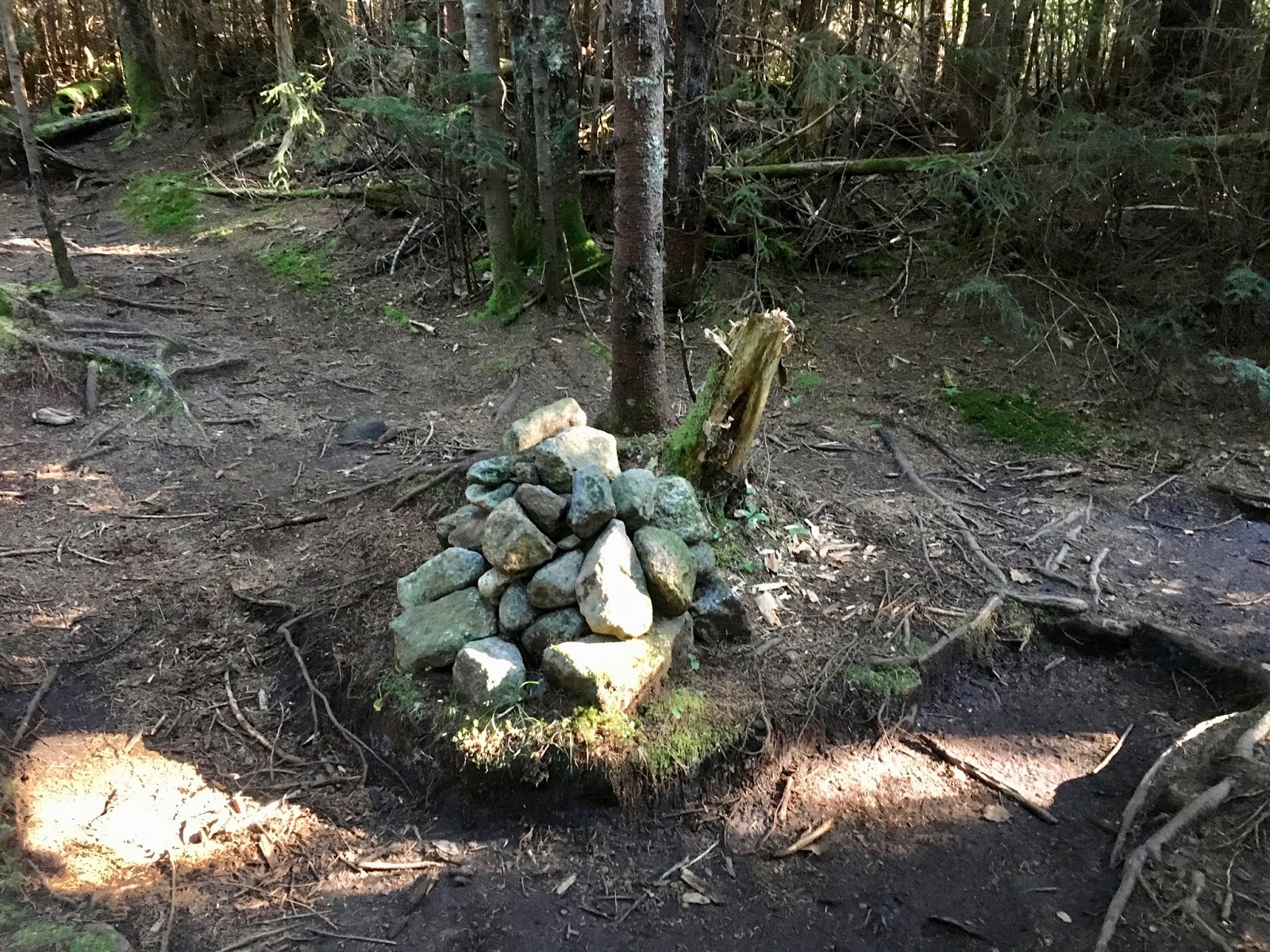
This cairn marked the trailhead to Mt Marshall which took a left turn or to the north. We continued northeast towards the river crossing.

Its been a while since I last slept in a lean-to.
Crossing the dam at the Opalescent River with Lake Colden in the background was spectacular. We came across some hikers eating breakfast at the dam.


More unstable then anticipated


At the Uphill lean-to which sits to the left of the trail, facing away from the trail, so "the behind it" description that is found in most write ups of this trail system actually describes the trailhead as if you were standing in front of the lean-to. This cairn marked the start of the ascent up to the fork in the trail. The turn left leads to the summit of Redfield which is roughly 1.5 miles one-way from the fork. It took us about one hour to reach the summit for this point.


We decided to do Redfield first because it was a taller mountain that actually had views. The weather predictions from Vermont High Peaks forecast stated that of the course of the day, especially in the afternoon the summits will be obscured in clouds.
When at the top, it was nice and cloudy with intermittent sun which was refreshing to the sweaty body but instead of be very relaxed we eat lunch quickly because gnats also had a nice lunch of human flesh when we sat there for 15 minutes. As seen in the photos, the summit is tree covered but walking just past the summit there are great views. We took quick summit photos and ran down the mountain trying to get rid of the clinging pests. It took us a couple of hours to get rid of them from our clothing. Not fun!


Back at the forked trail, we took a little break and while trying to walk around a muddy area, I slipped and sank knee deep in mucky mire. It was a joy to resume the hike with fresh mud in the boats.
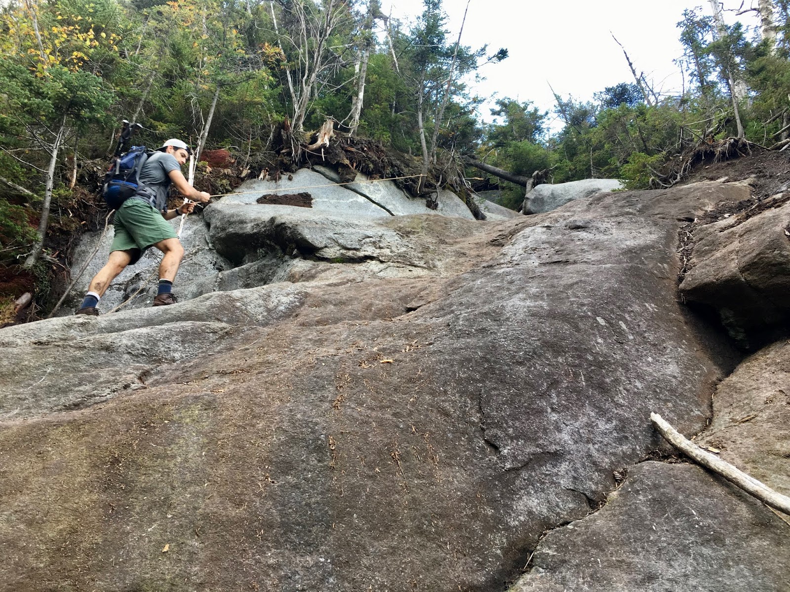
It took us another hour to summit Cliff from this point. Earlier in the hike we came across some hikers who warned us that Cliff was not a pleasant hike due to very steep sections and lots of mud at the beginning. A fellow blogger describes the trail up Cliff as a "vertical swamp." And we soon saw the full definition of the stated title.

Beyond the very muddy/boggy area came several sections of vertical trail. "Cliff" perfectly describes this mountain. It may be a good idea to put away the trekking poles as they are useless from this point all the way to the summit. One section of the trail had a nice 50 ft rope attached to assist the hikers, and it turned out to be very useful in both directions.
At the summit of Cliff, there are plenty of trees with little view. We had more views on the descent then at the top. Thankfully there were less bugs and the short break was more relaxing then Redfield. We did however notice thicker and more threatening clouds rolling in so we took off at a good clip to make it to the bottom before rain made the descent in trickier on the steep rock.


We made it back to the forked trail in about 45 minutes with just a few sprinkles in the air. And then we noticed the summits in front of us becoming covered in clouds.
Once at the Uphill lean-to there were the dread thoughts that we had 7 miles back to the Upper works parking lot. By this point in the trip I had only experienced one strong cramp in my left quad that lasted about 5 minutes which felt like eternity. But its never fun descending with sore feet and quads.
About 2 hours into our descent, between Lake Colden and Flowed Lands we got some heavy rain. I personally dont like hiking in rain due to bad past experiences, so I put on rain gear to keep everything drier.
When we got to Calamity lean-to we had 4.5 miles back to the car. At this point we took a break, refueled with snacks and Ibuprofen. The last 2 hours consisted of increase pain in the knees, quads and feet. At one point Matt decided to jog, which put my calves to great strain, and so we quit that.
The flatter sections definitely helped the aching body but there was nothing enjoyable about this part of the hike.

TRIP STATS:
Upper Works Parking lot: 0615
On the trail: 0630
Calamity lean-to: 0832
Uphill lean-to: 1015
Redfield Summit: 1140
Break: 20 minutes
Left Redfield summit: 1200
Forked trail: 1310
Break: 15 minutes
Cliff Summit: 1435
Break: 10 minutes
Forked trail: 1535
Upper Works Parking lot: 1910
DURATION: 12 hrs 40 minutes
DISTANCE: 17.88 miles
ELEVATION GAIN: 4230 ft


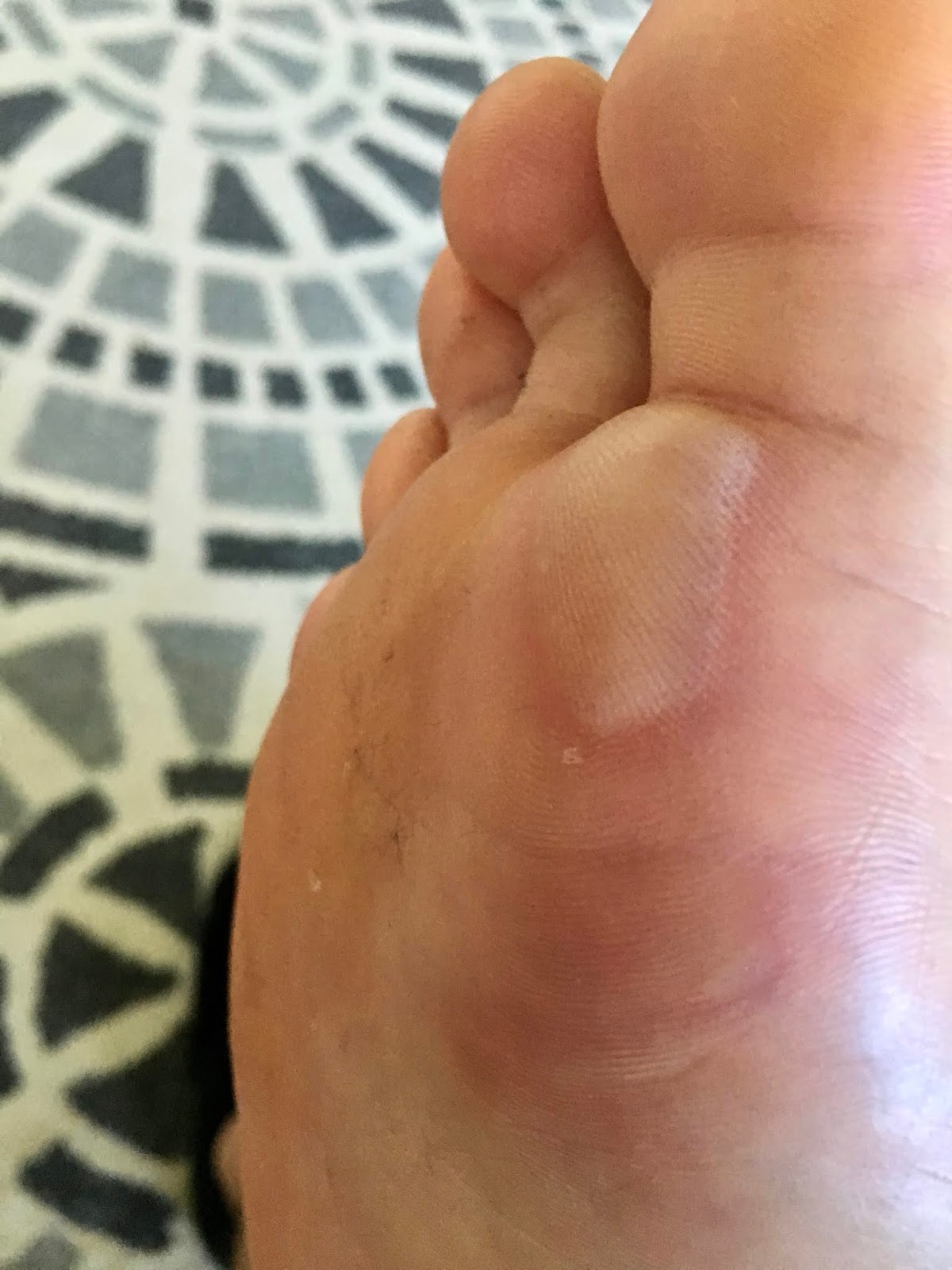
The next day, I got a nice blister on each foot. It took my legs about 2 days to recover. And there were a few things that definitely helped the joint and muscle ache recover quickly. Highly recommend Super Cal Plus and Sulfurzyme as supplements and Cool Azul as a topical ointment.

WHEN ARE WE HIKING AGAIN?!