This year turned out to be a more challenging year to get out to and hike in the Adirondacks. Life just happens, and along with that was the weather. It was a very wet spring, summer, and part of the fall. I had planned 5-6 hikes but had to cancel due to rainy weather. Some people may say, "be a dedicated hiker and hike in any weather." My response: I love hiking but its awesome to be at the summit of a high peak and "reap the reward" by enjoying the unique and awesome views. I have hiked in rainy weather on two separate hikes and there was no pleasure in any one of them. Everything waterproof becomes a mere memory as your body fights to maintain proper body temperature. No thank you!
On this hike the weather was promising but as all things are not 100% predictable when it comes to weather in the Adirondack's. To jump ahead the hike started with temperatures in the low 50's and the summit had 42 degrees with 30 mph winds which felt like mid-30's.

On this hike, my colleague and co-worker, Rich joined me for the adventure. He and his girlfriend have hiked a few high peaks in the past, however, it was his first time in the Keene Valley area. Ironically, this was my last hike in the Keene Valley, and 28th high peak. I remembered my first hike in the valley with my wife and we did Gothics to Lower Wolfjaw in 10 hrs.
The almost 4 mile hike from the hikers parking lot below the Ausable Golf Club is a nice warm up as you make your way to the Lower Ausable Lake. With each hiking trip the 4 miles always seemed to get longer and longer.
Once at the lake, the weather was really nice for a couple photos. Rich took most of the photos on the trip as my phone died because I didn't charge it on the way up while using the GPS.


On the ascent we took the scenic trail to check out the views. As the photo's reveal below, we had some spectacular views and it was worth doing once. About a third of the route was along the northern shore of the lake which revealed the Fish Hawk Cliffs and Indian Head the entire ascent. There were several rock outcroppings that were breath taking and perfect for more photos. Some pictures just don't do justice to the awesome scenes we had before us.


Upper Ausable Lake


Some sections were too steep to climb so the trail volunteers had several ladders in place. The ladder experience never gets old in the high peaks and its fun to ascend a lot quicker to better views.


As we neared the summit, the winds became noticeably stronger and the air was a lot cooler. When hiking via the Scenic Trail the summit is on the other side of the mountain.

It was nice to finally be at the top, although the hike was not long nor really difficult. There were great views under a thick canopy of grey clouds. It was also really windy with gusts over 30 mph. Even with the warmest clothing on, I still felt cold as we we found some protection from the high winds behind larger rocks. Lunch was eaten in haste as every minute that we sat, it seemed to get colder.


Basin Mountain (left), Saddleback (right)

Pyramid Mountain

Gothics
On the descent from Sawteeth we had great views of Pyramid and Gothics to the north. At the col we met a couple also hiking Gothics via Pyramid and so we decided to continue the hike. A couple hundred feet into the ascent my quads started to cramp up unrelentlessly. No amount of drinking water and stretching was relieving the cramping and so we decided to turn back and head out via the more preferred trail.


Rainbow falls
On the way down we came across some really tall falls. And on the Lake Road, the there always several Brook Trout to watch.


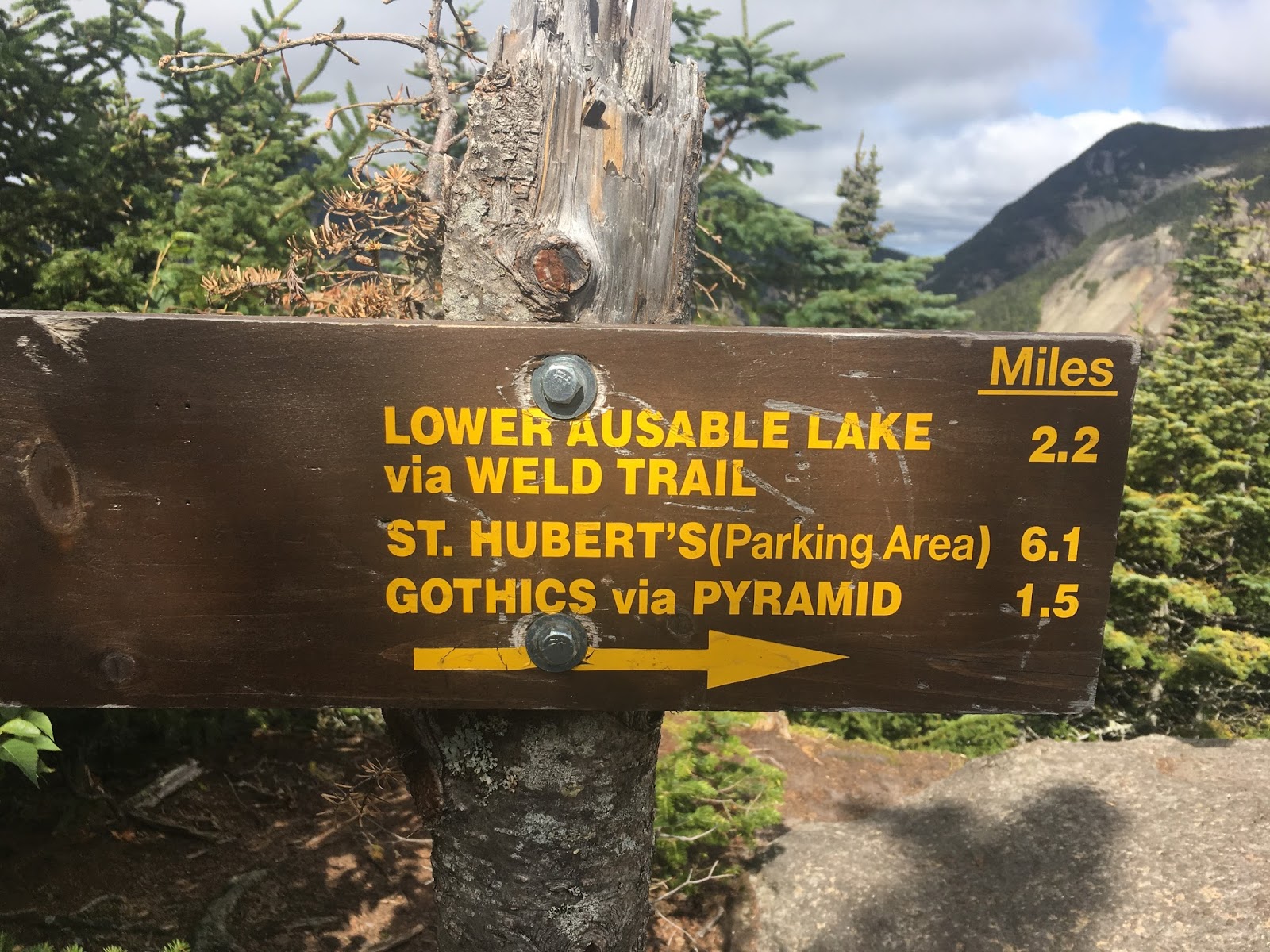
Several times while hiking in on the Lake Road, I wished bicycles were allowed to make the 4 mile journey more exciting and a bit shorter in duration. But the sign below always reminded me that only my two legs were allowed as means of transportation.


"Peace Out" Lake Road

Mt. Giant


HIKING STATS:
Hiker's Parking Lot (Ausable Club): 0717
Trailhead: 0828
To Summit via Scenic Route: 1142
Left Summit: 1200
Col between Sawteeth & Pyramid: 1230
Parking lot: 1350
Elevation Gain: 2,800 ft
Round trip: 13 miles
Total time: 6.4 hrs
Date: 9/1/17
No comments:
Post a Comment