The second day of hiking during the winter hiking trip was a bit of a last minute decision. Most of the guys made the decision to get back home as soon as possible but two others and myself decided to keep the adventure going. Originally we planned to hike Mt. Marshall but after much discussion we decided it was too long of a trip and opted to go for Santanoni. The weather looked favorable and we decided to head out despite the fact that we didn't quite know the location of the parking lot before Upper Works.


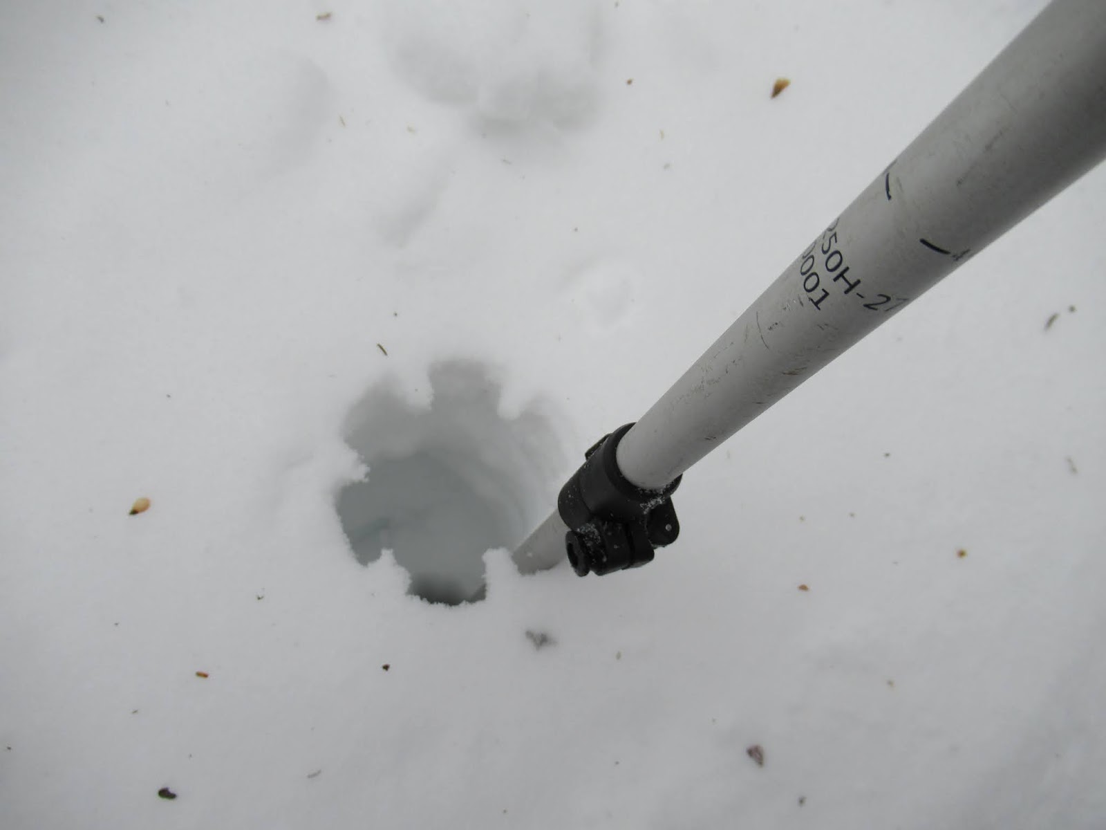
We left the house at 4 am and made it to Upper Works by 5:15 but the only problem was we completely missed the left turn because it was blocked with snow. We took that photo on the way out.
We spent about 15 minutes looking for the right turn and after pulling in we saw a couple vehicles already there. After a quick gear check we hit the trail at 5:37 am.
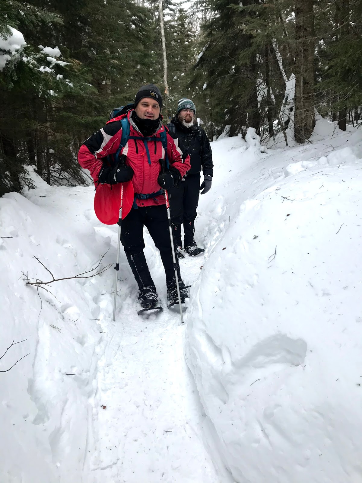
It was a crispy morning. This was my first time hiking in while pitch black. We were hiking at a good pace on a very open road-like trail. There was a ski trail that ran alongside. I had a lot of questions regarding the trail and there was only so much research you can do the night before. But the sense of the unknown also made for a great adventure.


The first turn on the trail was simply indicated with an arrow on the tree. The trail was marked with a blue trail marker until the left turn that marked the trailhead. Santanoni is an unmarked trail hike. From here the trail was narrower, surrounded by a dense forest, and the terrain gently increased in elevation.


As we increased in daylight, it was nice to appreciate the beautiful and wild surroundings. At the intersection we took a left, with a blank wooden sign on the right. The trail going to the right would take you to the Panther trailhead and the Duck Hole.

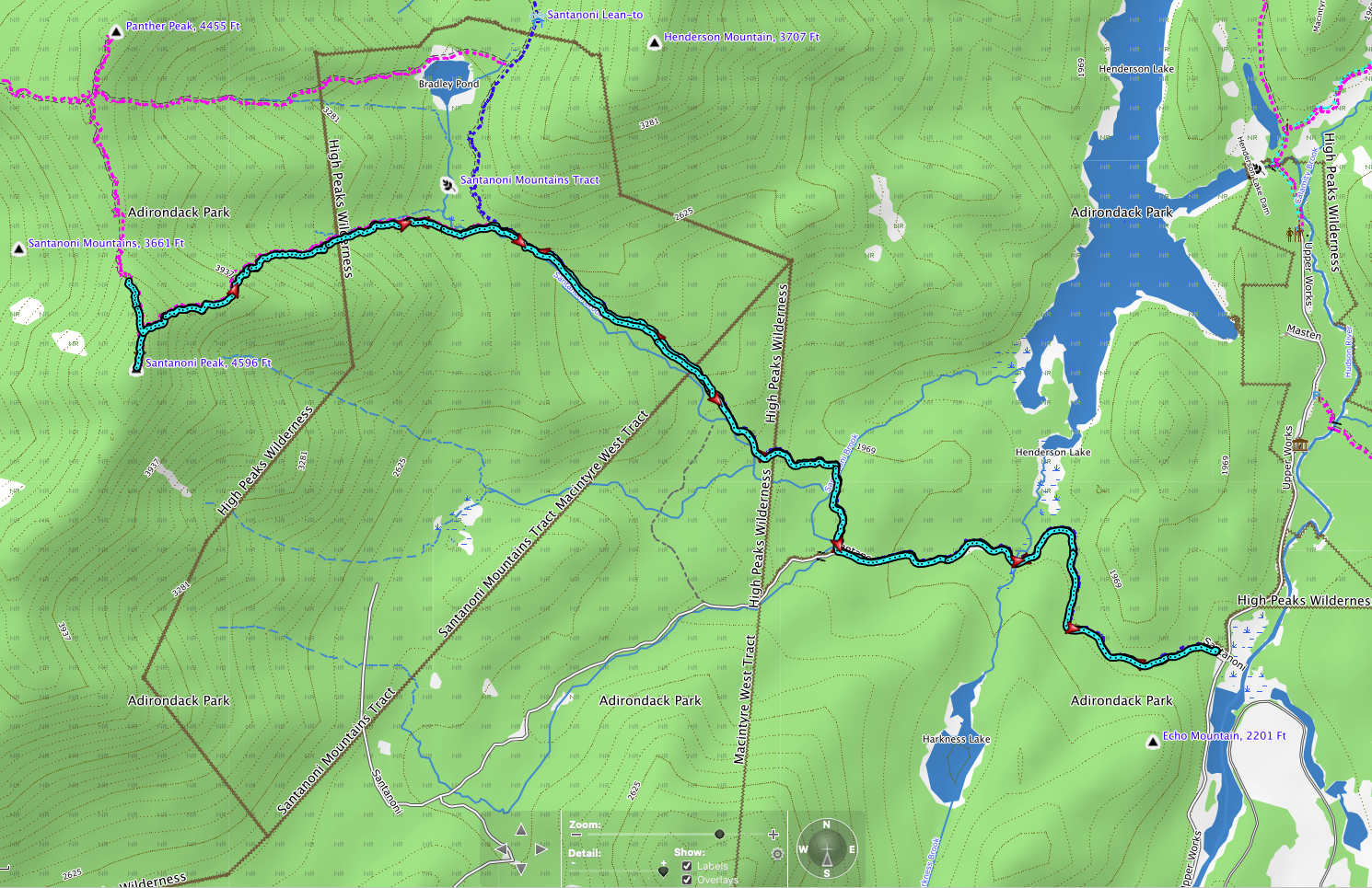
On the way back we calculated it to be about 3.7 miles from the parking lot to the bifurcation. About a 5 minute walk from the intersection there was a bridge crossing. It had an impressive 18 inches of hard packed snow on it. The trail was almost flat at different points. And it dipped down into a swampy area with dead trees. After the swamp crossing the trail entered some really dense underbrush. Immediately after that it was a very steep ascent. The mountain has a eastern ridge line and the trail follows that line on the northern side of it. There was several feet of snow that side of the mountain and I could only appreciate one set of snowshoes ahead of me. I was grateful the entire hike that we didn't have to break trail. I had no difficulty make hiking up the steep slope with the Lightening Ascent MSR snowshoes.

As we continued up the mountain I was impressed at the amount of snow, and it seemed to increase. There was one section that was super steep and it took about 20 minutes to go 50 feet. The crazy thing was if one person fell then they would take out the other two and back to square one. Thankfully we all made it to the top. On the way back this area was even hairy sliding on your butt. There is nothing to stop you at the bottom except for rough pine trees.


There came a point on the trail that we were on the ridge itself and it flattened out a bit at some parts.


The last portion of the ascent was nice and mild in elevation. We were completely covered in clouds and it was snowing steadily. Just before the summit we put on our hardshell coats. A group of 4 hikers passed us and we later chatted with them at the summit. They were hiking all 3 that day (Santanoni, Panther, and Couchsachraga).

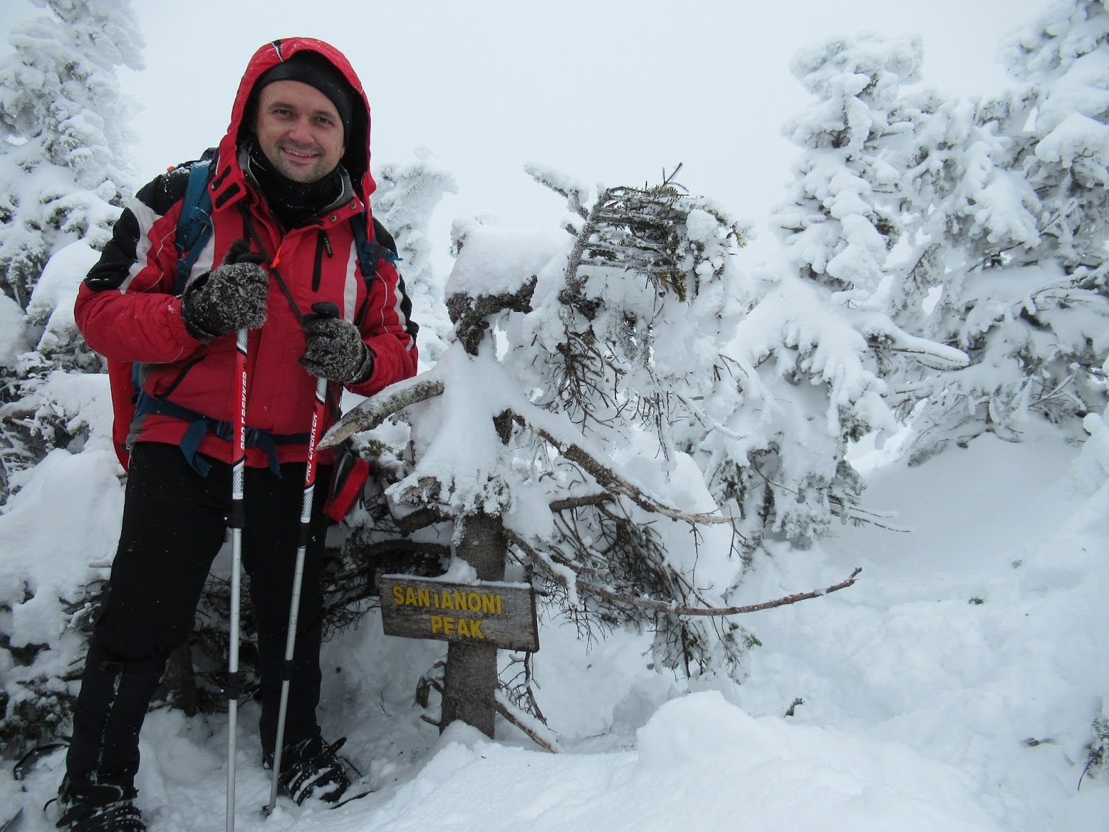
We reach the summit at 10:30 am. Spent about 20 minutes at the top, drinking some warm tea and eating a nice lunch.


On the way back, we were so excited about the descent we completely missed the slightly right turn in the trail. One of the guys had a gut feeling we should check our maps/GPS and sure enough we were about 1/2 mile down the trail to Panther. So we had to back track and it turned out to be a longer ordeal as the trail wasn't as packed down and it was difficult going.
Once back on the trail we made good time on the descent because we used out butt sleds almost the entire way to the swamp area. If I was to guesstimate it was probably a 30 minute butt sled experience. I had a couple hip and shoulder collisions with trees and roots that only gave me nice bruises.
By far the most painful part of the trip was hiking the 3.7 miles along a pretty boring trail. But we maintained a good conversation for the duration of the long miles. It is definitely more enjoyable to hike with companions.
We made it back to the truck at 2:30pm about 30 minutes behind schedule. However, we had a great trip back to Syracuse and we made it home at 6 pm.
TRIP STATS:
2/22/2020
Start: 0537
Summit: 1030
Left summit: 1050
Finished: 1430
Trip Duration: a little less than 9 hours with stops
Trip Miles: 11.2 miles
Elevation Gain: ~2,850 ft

No comments:
Post a Comment